

Notams Aero is the best NOTAM application.
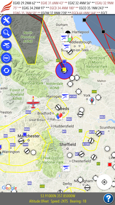
You can see NOTAMs on the map. Each NOTAM is displayed in categorized colors. Red means firing, yellow means training, blue means UAV, green means parachute etc. Additionally; each NOTAM area has a symbol which describes its subject ( for instance; you will see a remote control symbol for UAV NOTAM area)
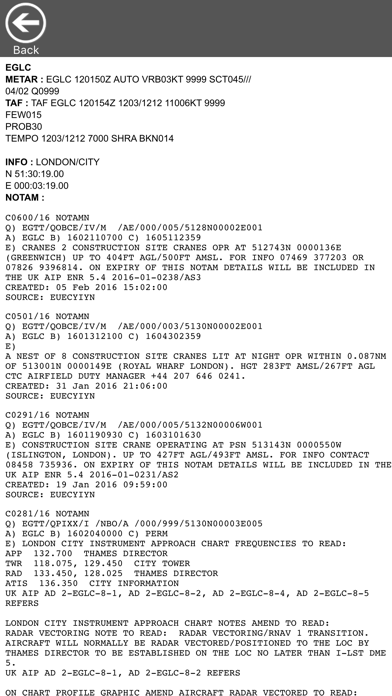
* Airport/Aerodrome meteorological information (METAR & TAF)
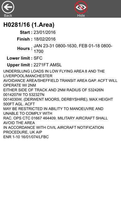
* Airport/Aerodrome NOTAMs
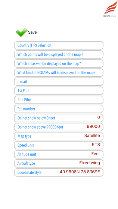
* Altitude filtering for NOTAMs
* All defined areas (prohibited areas, restricted areas, CTR, TMA, TRA, TSA, CBA etc)
* Airports, heliports and other aeronautical points with their detailed information
notams.aero contains these countries :
Albania, Armenia, Austria, Belgium, Bosnia, Bulgaria, Croatia, Cyprus, Czech Republic, Denmark, Estonia, Georgia, Germany, Greece, Finland, France, Hungary, Ireland, Italy, Latvia, Lithuania, Luxemburg, Macedonia, Malta, Moldova, Netherlands, Norway, Poland, Portugal, Romania, Serbia, Slovakia, Slovenia, Spain, Sweden, Switzerland, Ukraine, United Kingdom and United States
Annual subscription :
notams.aero is NOT FREE. You should purchase annual subscription to have all information. ( 19.90EUR / year )
Payment will be charged to your iTunes Account at confirmation of in-app purchase and subscription automatically renews each year unless auto-renew is turned off at least 24-hours before the end of the current period.
Any unused portion of a free trial period, if offered, will be forfeited when the user purchases a subscription to that publication, where applicable
For more information, privacy policy and terms of use please visit : http://notams.aero/policy.aspx
PS:Continued use of GPS running in the background can dramatically decrease battery life.